Lucky Dollar Mineral Property
40 Acre Lode Claim Castle Mountain Mining District
Meagher County, MontanaContact Gold Rush Expeditions
Use code JRM1003 for a 10% discount.
www.goldrushexpeditions.com
Ph: 385-218-2138
Email: goldrush@goldrushexpeditions.com
The Lucky Dollar Mine was reported to be located in 1880. The mine has been historically known as the Powderly Mine as far back as 1890 when it was purchased by the T.V. Powderly Company. The mine did not begin to ship ore until 1890. The Lucky Dollar is the most recent naming of the property and is how it is currently referred to by local land management agencies such as the USGS and BLM.
The mines are on 40 acres of lode mineral claim (MMC 234563 and MMC 234564) staked and owned (2017) by Gold Rush Expeditions, Inc. These claims cover all the workings and mapped trending as it has been documented to date.
 The mines have shipped paying ores as late as 1964. Work is locally reported to be carried out on the property as late as 1990. The mine shows in good condition from what can be ascertained from the surface. There is an adit located roughly 80 feet below a shaft on the property. Both portals are in rough condition and will need rehabilitation to be safely accessible.
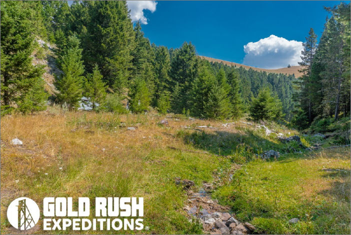
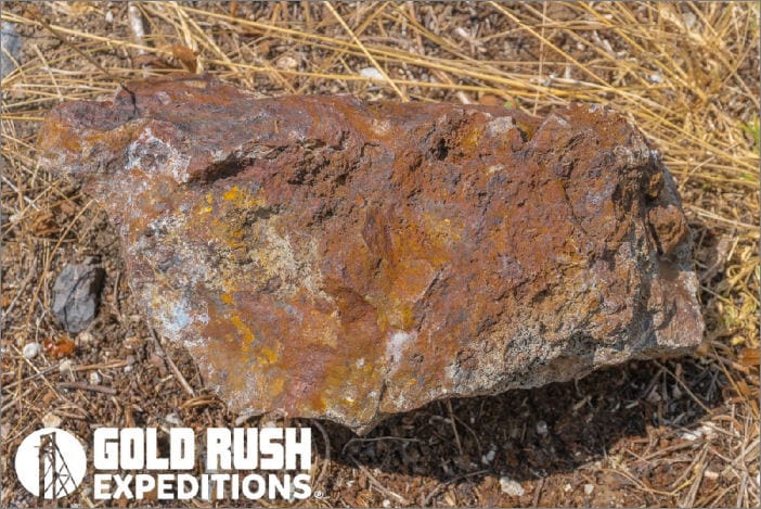
There are no known mappings or deposit descriptions of the mine workings. The mines do show substantial amounts of high grade galena on the surface. There is easy access to the mines on county maintained roads on public land.
The Lucky Dollar (Powderly) is reported to be primarily a silver mine, however, based on extensive geological reporting, it is thought that the mine is cut on similar deposits as other larger mines in the district such as the Cumberland and the Yellowstone. If this is the case, there is also small amounts of gold in sulfides to be recovered at depth.
The Lucky Dollar is a part of the Castle Mountain District, which is basically an ancient volcano. The geological trends associated with volcanic deposits are text book in nature and should provide excellent opportunity for profitable development.
 Property Description:
The two (2), twenty (20) acre contiguous claims span across all of the workings of the mines. These claims are situated in an east-west orientation. The original Powderly (Lucky Dollar) was situated in a North South orientation. Gold Rush Expeditions, Inc. set the claims as shown below to cover all of the relevant workings in the area and to verify that all interest in the mine are covered by the claims. The mine portals occur at or around 6400 feet in Elevation. The highest point on the claims is 6800.
Interested Clients May Call or Email for a Full GRMP-43 Technical Mine Report.
Contact: Gold Rush Expeditions
Use code JRM1003 for a 10% discount.
www.goldrushexpeditions.com
Ph: 385-218-2138
Email: goldrush@goldrushexpeditions.com


